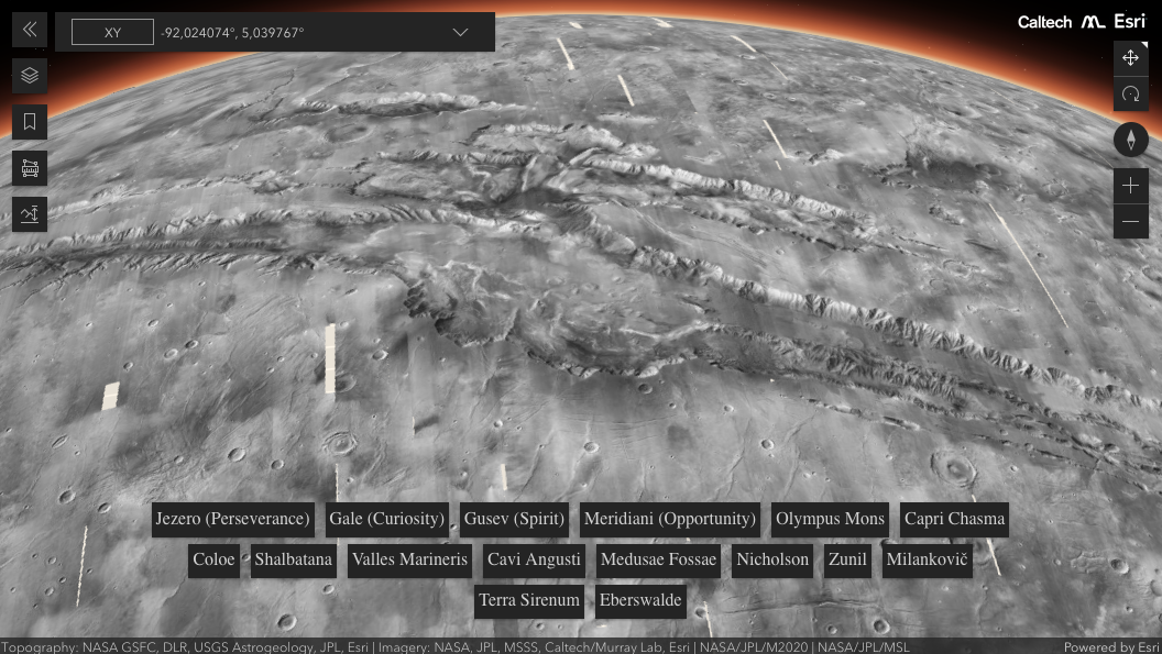
New interactive mosaic to show Mars in vivid detail
Both scientists and the public can navigate a new global image of the Red Planet that was made at Caltech using data from NASA’s Mars Reconnaissance Orbiter.
Cliffsides, impact craters, and dust devil tracks are captured in mesmerizing detail in a new mosaic of the Red Planet composed of 110,000 images from NASA’s Mars Reconnaissance Orbiter (MRO). Taken by the veteran spacecraft’s black-and-white Context Camera, or CTX, the images cover nearly 270 square feet (25 square meters) of surface per pixel.

Click on image above to display the details of Mars in a new interactive mosaic. Image credit: NASA/JPL-Caltech
That makes the Global CTX Mosaic of Mars the highest-resolution global image of the Red Planet ever created. If it were printed out, this 5.7 trillion pixel (or 5.7 terapixel) mosaic would be large enough to cover the Rose Bowl Stadium in Pasadena, California.
The product of Caltech’s Bruce Murray Laboratory for Planetary Visualization, the mosaic took six years and tens of thousands of hours to develop. It is so detailed that more than 120 peer-reviewed science papers have already cited a beta version. But the mosaic is also easy enough for anyone to use.
Source:
NASA/JPL-Caltech News


